Maptionnaire
What is it?
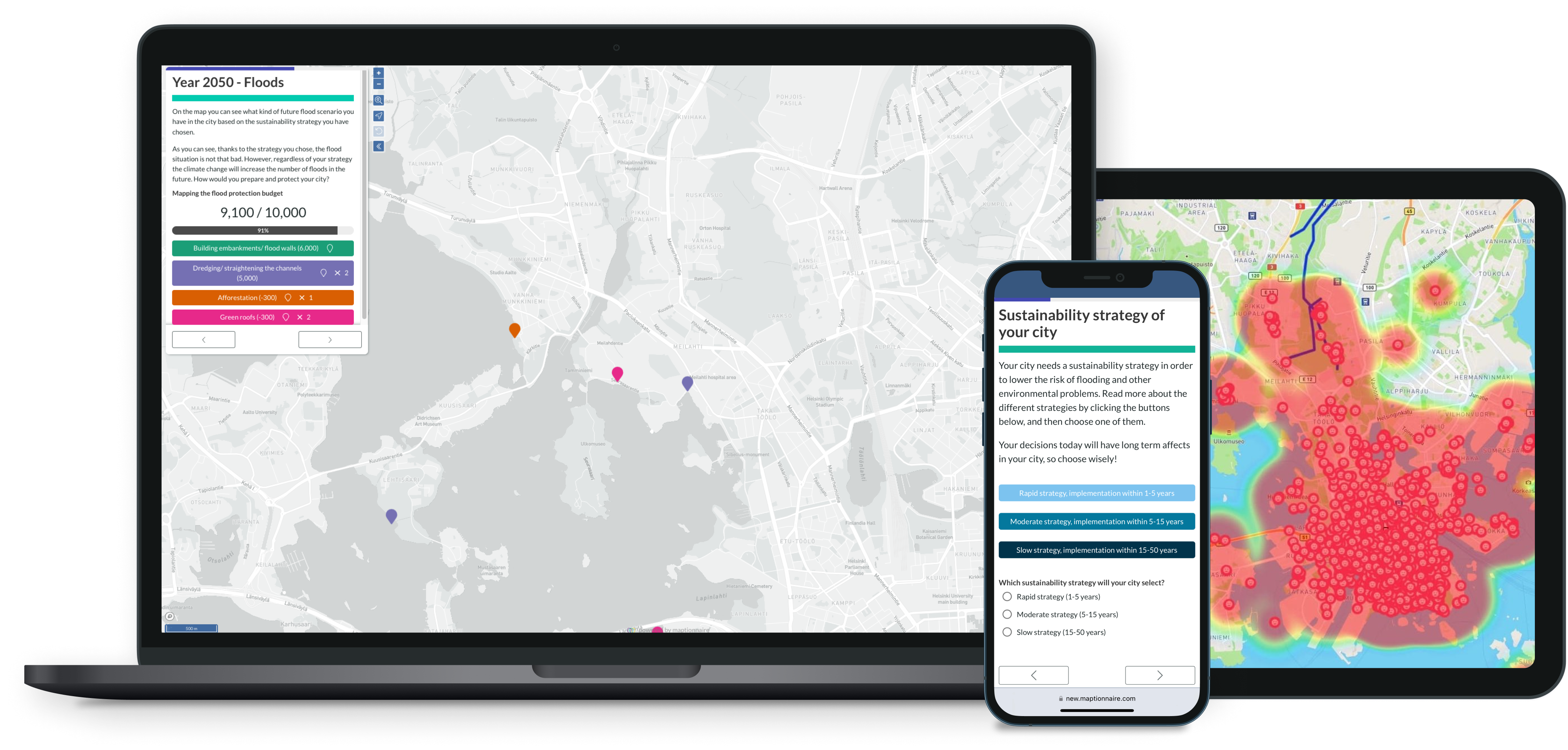
At Maptionnaire’s core are map-based tools for designing questionnaires, collecting information, and analyzing data. Maptionnaire also helps planners and local governments to collaborate, report, and communicate about community engagement and participatory budgeting projects with citizens and stakeholders, as well as internally within the organization.
Maptionnaire is a subscription-based service that comes in three plans: Collect, Communicate, and Decide. Each plan contains a set of modules serving the different needs of effective citizen engagement.
- Collect: design impressive map-based and traditional surveys to gather local insights and analyze GIS-based data
- Communicate: create engaging webpages to transparently communicate about your projects and present interactive surveys, timelines, and other assets
- Decide: implement multi-stage participatory processes that include idea collection, proposal moderation, budget allocation, and voting with a no-code solution
Maptionnaire software is browser-based and works with any device. The service always includes technical support and training
Who is it for?
Maptionnaire is used by municipalities, government bodies, planning consultancies, universities, and research organizations for engaging with residents and stakeholders.
Directly from the developer’s website
Are you a digital solution provider? Be visible to the NEB community now!
Learn more